




Exterior cleaning in Forestville: your questions
Not answered here? Call 0494 810 609 or use the form and Nathan will reply personally.
Pricing is on request. Forestville homes range from post-war brick and weatherboard homes on large blocks that run down to middle harbour creek and garigal national park to much larger sites, so we measure from aerial imagery, test any stone and send one fixed written price within a business day. Call 0494 810 609 or use the form.
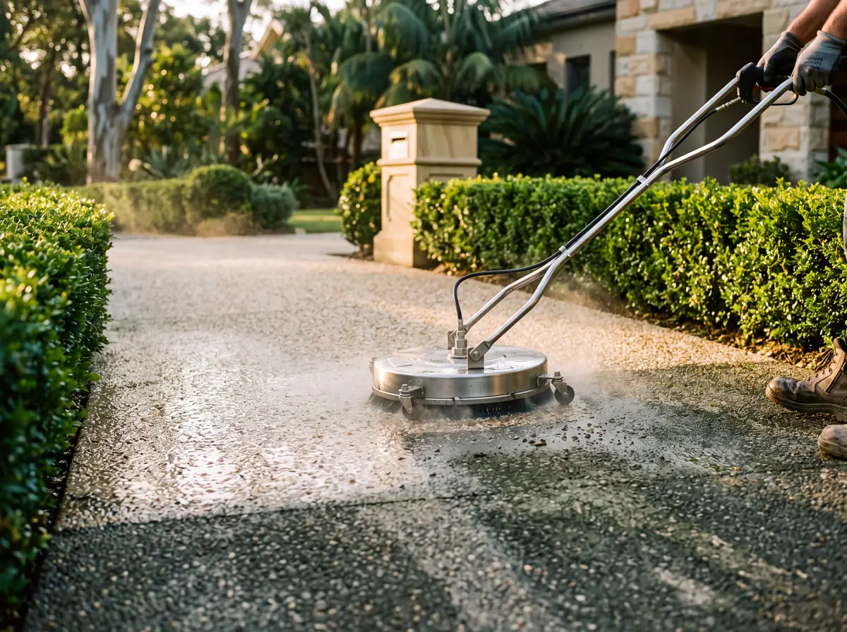
Routine exterior cleaning needs no approval. What the council enforces is stormwater pollution: nothing may reach Middle Harbour Creek. We bund drains and capture run-off on every job, and use documented low-pressure methods where heritage or foreshore controls apply.
Forestville is on our forest and plateau run, which we work most weeks. We usually quote within one business day and book within 7 to 10 days, often alongside Killarney Heights and Davidson.
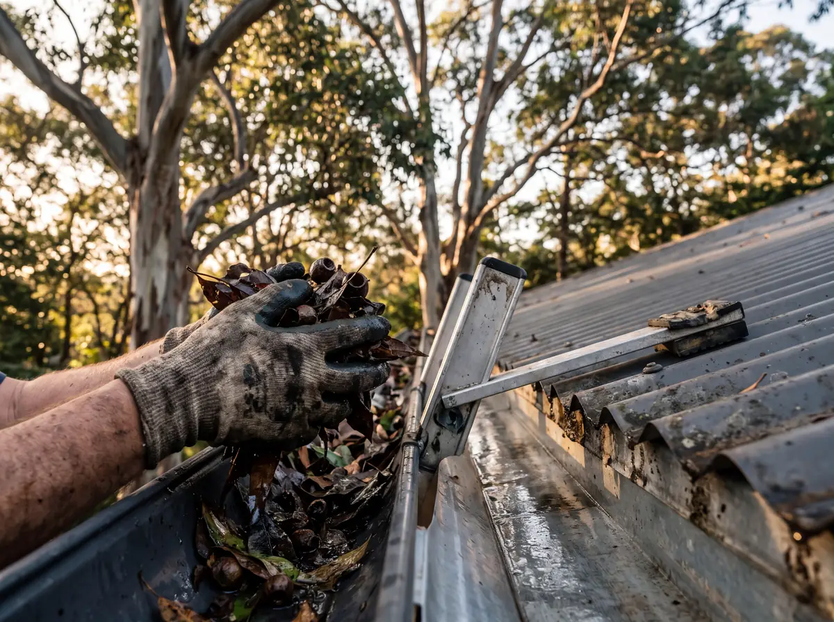
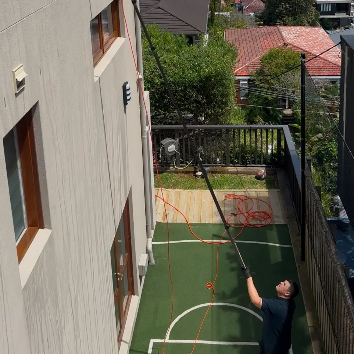
For plateau and bushland edge conditions we recommend gutters before bushfire season and again after autumn leaf fall, paving and courts annually, soft wash every 18 to 24 months. The quote includes a written maintenance cycle.
All of Forestville 2087, including Warringah Road, The Centre, Starkey Street, Cook Street and Currie Road, and the homes around Garigal National Park and the Cascades, Forestville shops on The Centre and Forestville Park and Melwood Oval. Killarney Heights, Davidson, Frenchs Forest and Belrose are on the same runs.
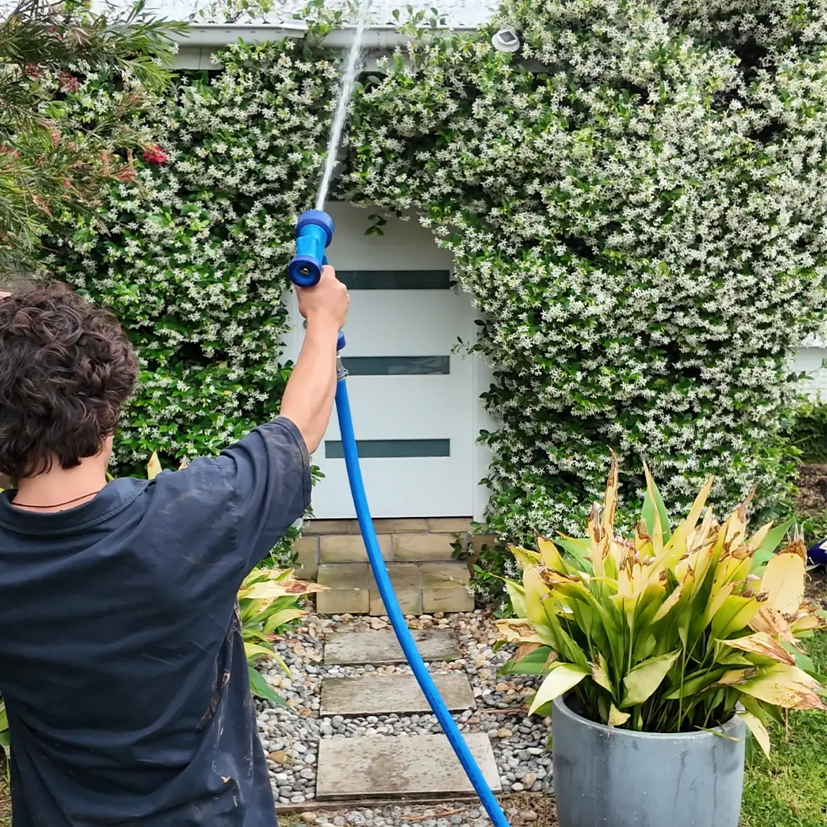
Yes. Weatherboard is soft washed from the bottom up and rinsed from the top down at under 500 psi with the nozzle angled along the laps, which cleans the face without driving water into the cavity.
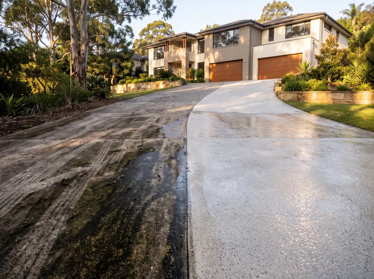
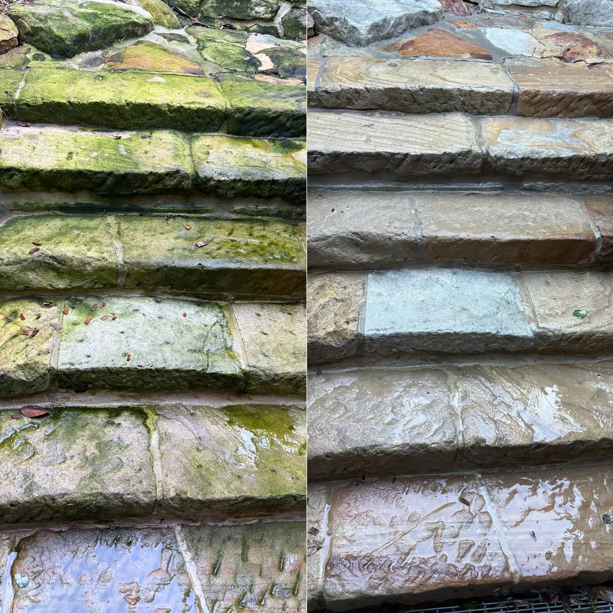
Yes. After a hot-water clean, a penetrating sealer keeps water out of the pores so the moss returns far slower and the surface stays grippy on the slope.
Parts of Forestville are mapped bushfire-prone land, which makes clear gutters, valleys and roof surfaces a safety job before the season. We offer a September or October clear with dated photos. Check your block on the NSW RFS and Planning Portal maps.